Explore the world from your window seat with
Flyover Country
A mobile app for geoscience
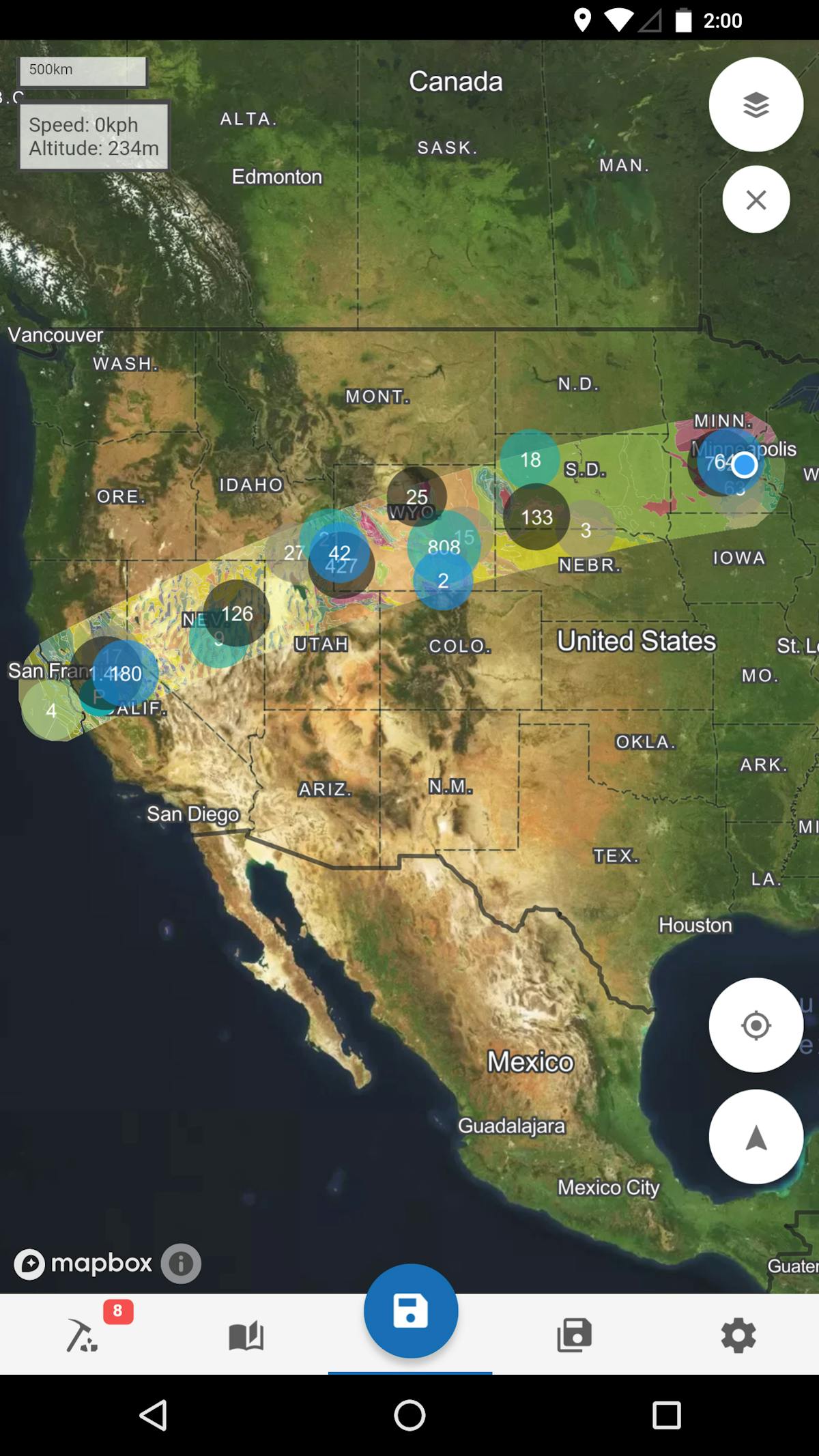
Flyover Country® is a National Science Foundation funded offline mobile app for geoscience outreach and data discovery. Learn about the world along the path of your flight, hike, or road trip with inflight maps and GPS tracking. Offline maps with interactive points of interest and geologic data reveal the locations of landscape features, fossils digs, cities, and more that are visible from your airplane window seat, vehicle, or hiking trail vista.
Do you love the window seat?
We do too! That’s why we we made Flyover Country.
The airplane window seat offers the grandest view of our planet a person can get without a ride on the International Space Station. We want to help people better understand the beauty this vantage point provides by bringing the science of the landscape up into the air.
Airplane mode ready
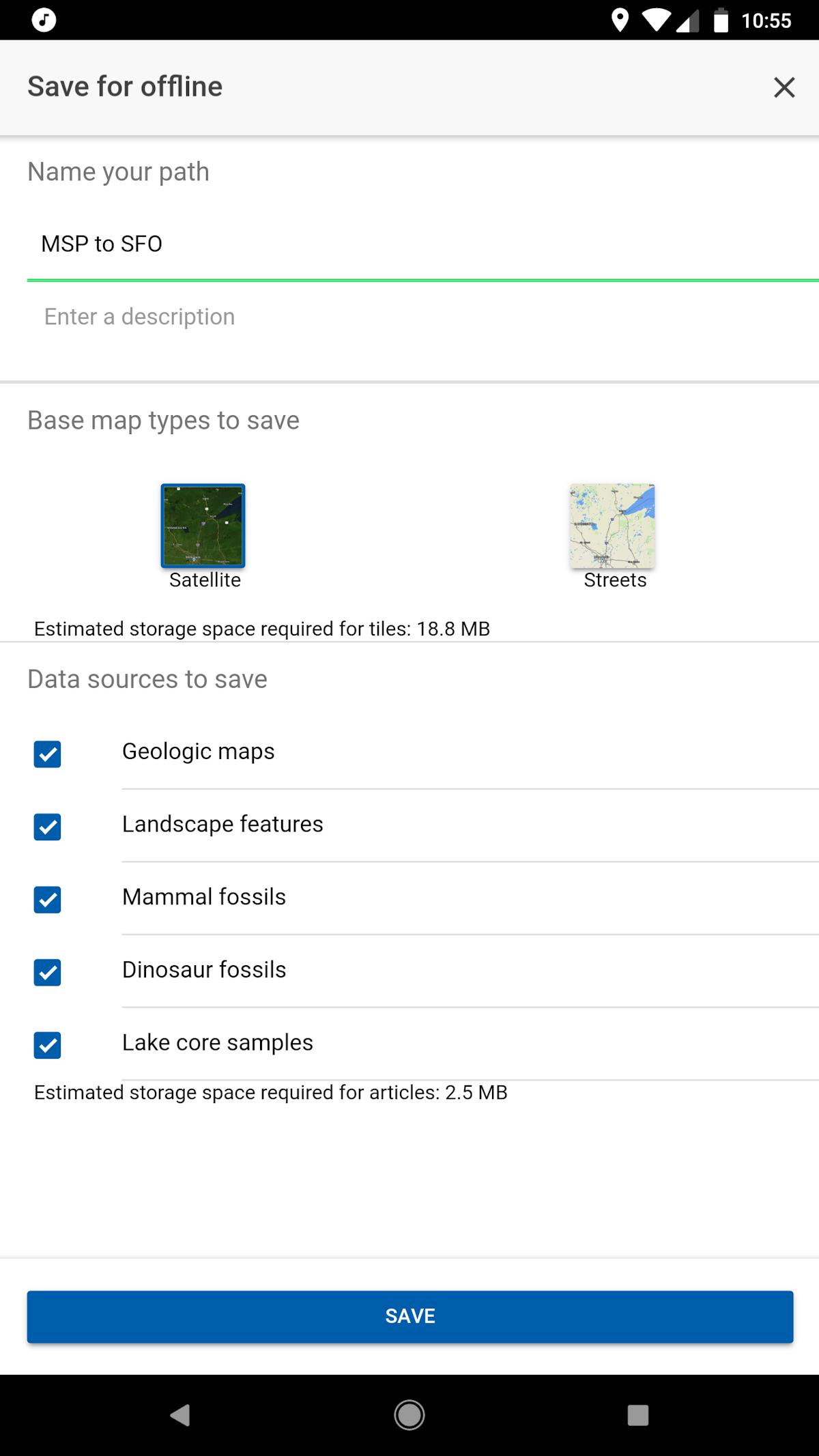
Load your path up before you go and enjoy access to all content, as well as your GPS-determined location, in airplane mode. Worldwide.
What is that?
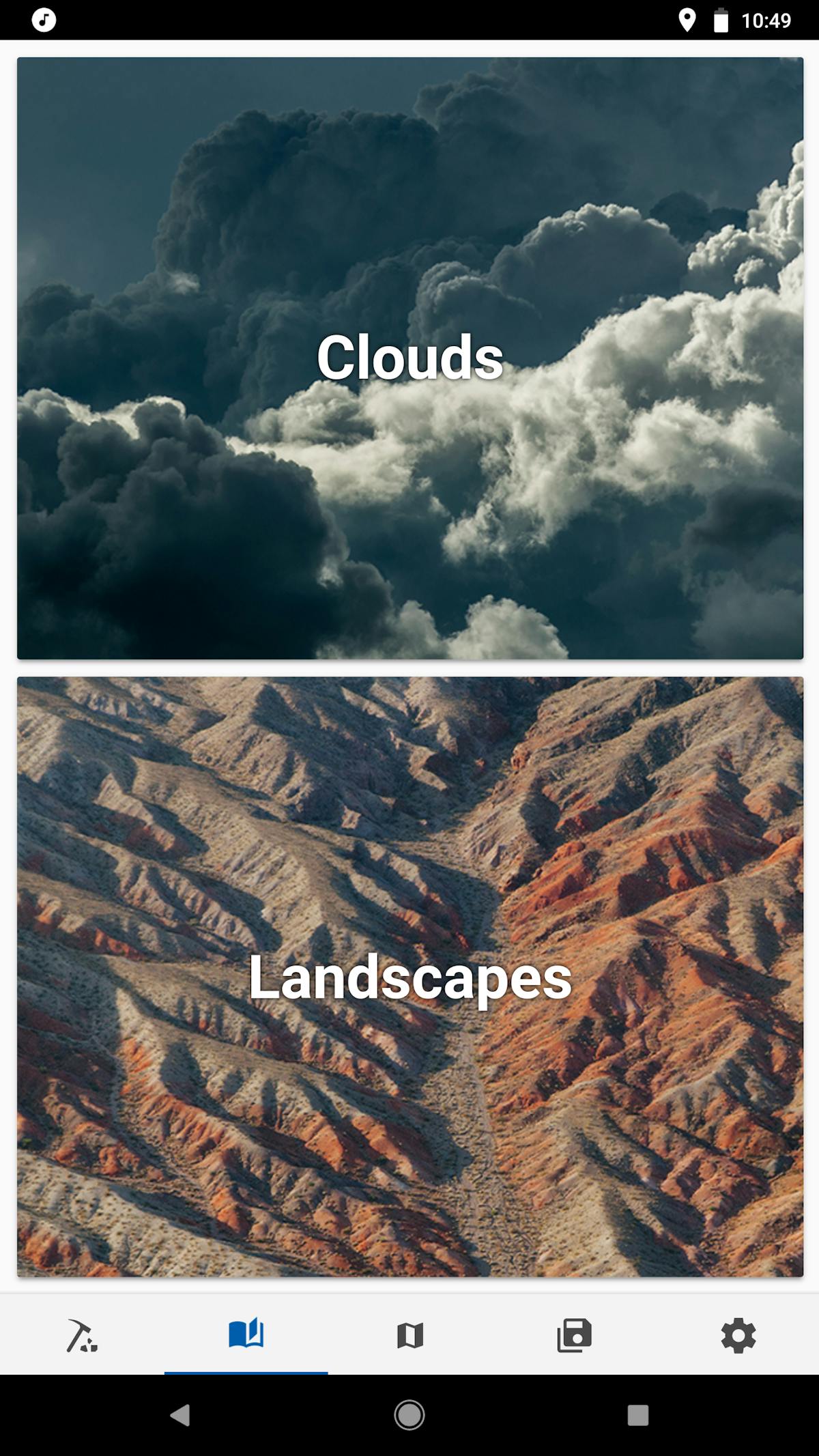
Explore a guide for identifying landscape features from above. What if it’s cloudy? We’ve got a fun-to-read guide for identifying clouds from the sky or ground, too.
Field trips
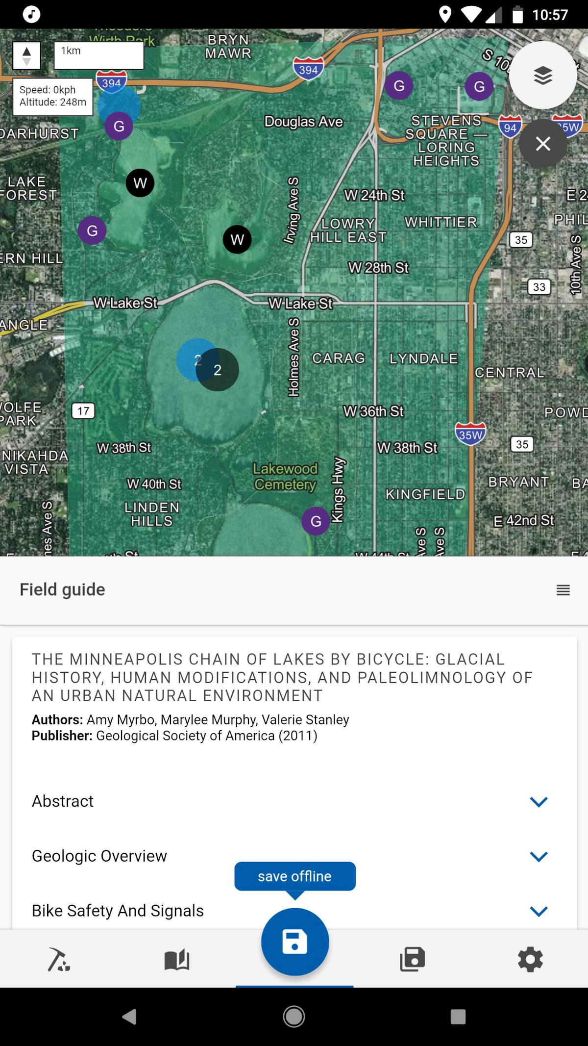
Expert-written guides to some of the world’s most amazing geologic features - for free.
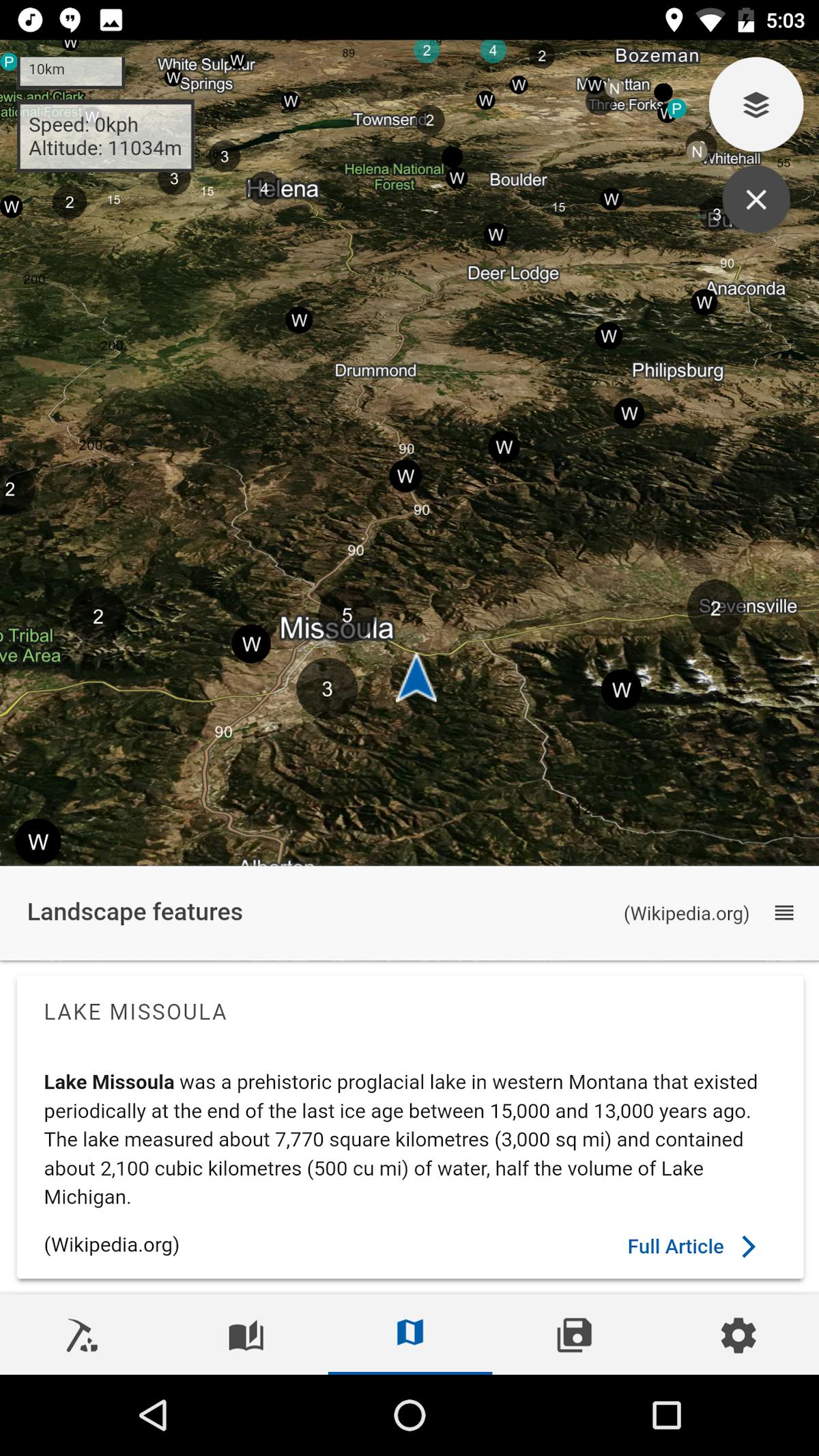
GPS tracking
Your flight's GPS determined speed, altitude, and direction let you know exactly where you are and what you're looking at.
Going on a roadtrip?
Every seat is a window seat in the car.
Switch to our ground mode for higher resolution maps for your next hike or road trip. Save your path offline for access to interesting information even in the most remote locations. Got a bit of extra time? Try taking a field trip using our expert-written field trip guides.
Next Stop
Seatback
The wonders of the landscape can be more exciting than a Hollywood blockbuster. Our curated points of interest easily plug into existing in-flight entertainment maps, and our visualization expertise and proprietary algorithms make our forthcoming product, FCInflight, a must-have for passenger engagement. Flyover Country Inc. welcomes inquiries from airlines and in-flight entertainment companies for off-the-shelf and custom products.


